In this vignette, we demonstrate how to convert a camels basin into an hygeo object.
We’ll first download the Camels basins.
url <- "https://ral.ucar.edu/sites/default/files/public/product-tool/camels-catchment-attributes-and-meteorology-for-large-sample-studies-dataset-downloads/basin_set_full_res.zip"

out <- tempdir(check = TRUE)

out_f <- file.path(out, basename(url))
if(!file.exists(file.path(out, basename(url)))) {
  download.file(url, destfile = out_f)
}

outdir <- gsub(".zip", "", out_f)
try(zip::unzip(out_f, overwrite = FALSE, exdir = outdir))
Now we read in the basins and fix up their IDs to match the NWIS Site at the outlet of the basin. The nhdplusTools calls here are a quick and dirty way to get an NHDPlusV2 COMID and a subset of NHDPlus data.
basins <- sf::read_sf(file.path(outdir, "HCDN_nhru_final_671.shp"))

basins$ID <- stringr::str_pad(as.character(basins$hru_id), width = 8, side = "left", pad = "0")

id <- basins$ID[1]

comid <- nhdplusTools::discover_nhdplus_id(nldi_feature = list(featureSource = "nwissite",
                                                               featureID = paste0("USGS-", id)))

nhdplus <- nhdplusTools::plot_nhdplus(list(comid))
#> although coordinates are longitude/latitude, st_intersects assumes that they are planar
#> Found invalid geometry, attempting to fix.
#> Warning in value[[3L]](cond):
#>
#>  Failed to unify output geometry type.
#>
#> Error in st_cast.POINT(X[[i]], ...): cannot create MULTILINESTRING from POINT
#>
#>  Dropping non-MULTILINESTRING geometries.
#> Zoom: 9
#> Map tiles by Carto, under CC BY 3.0. Data by OpenStreetMap, under ODbL.
#> Audotdetect projection: assuming Google Mercator (epsg 3857)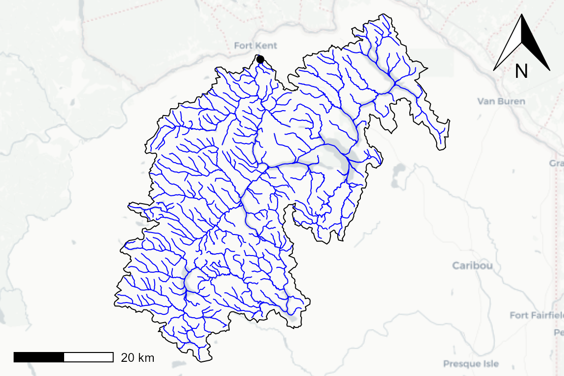
Now we extract the mainstem from the NHDPluS subset, generate a few simple attributes, and create the hygeo object.
main <- dplyr::filter(nhdplusTools::align_nhdplus_names(nhdplus$flowline),
                      LevelPathI == min(LevelPathI))

crs <- sf::st_crs(main)

len <- main$slopelenkm
slo <- main$slope

len <- len[slo >= 0]
slo <- slo[slo >= 0]

mean_slope <- sum(slo * len) / sum(len)

main <- sf::st_line_merge(
  do.call(c, sf::st_geometry(main)))

main <- sf::st_sf(ID = id, toID = "",
                  geom = list(main), crs = crs)

main$toID <- NA
main$length_km <- sf::st_length(sf::st_transform(main, 5070)) / 1000
main$slope <- mean_slope
main$LevelPathID <- id

basin <- dplyr::select(dplyr::filter(basins, ID == id), ID)
basin$area_sqkm <- as.numeric(sf::st_area(
  sf::st_transform(basin, 5070))) / 1000^2

nex <- hygeo::get_nexus(main)

cat_edges <- hygeo::get_catchment_edges(main)

wat_edges <- hygeo::get_waterbody_edge_list(main)

cat_data <- hygeo::get_catchment_data(basin, cat_edges)

fp_data <- hygeo::get_flowpath_data(main, cat_edges)

nex_data <- hygeo::get_nexus_data(nex, cat_edges)

hygeo_list <- list(catchment = cat_data,
                   flowpath = fp_data,
                   nexus = nex_data,
                   catchment_edges = cat_edges,
                   waterbody_edges = wat_edges)

class(hygeo_list) <- "hygeo"

mapview::mapview(list(cat_data, fp_data, nex_data))